Structured practice, real feedback, and AI-powered analysis
—built for golfers who actually want to improve.
Full Course Play, Automated.
Full Course Play, Automated.
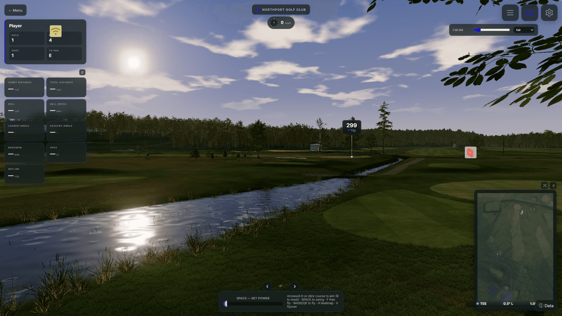
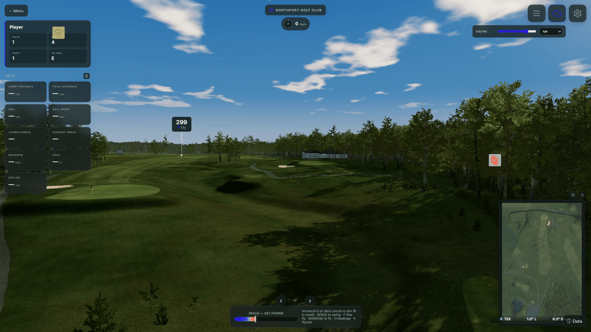
Step off the flat practice range and onto thousands of real-world golf courses worldwide. ShotForge generates playable, 3D layouts on demand using real terrain data—letting you test your dispersion, club selection, and strategy on genuine fairways with zero friction.
Real Satellite & Elevation Data—Built for Scale
Real Satellite & Elevation Data—Built for Scale
We believe you shouldn't have to wait months for a 3D artist to handcraft your local track. ShotForge pulls real-world 1-meter LiDAR elevation, satellite imagery, and open-source golf map outlines to turn raw geospatial coordinates into a playable golf hole in seconds.
The trade-off is simple: automated data isn't hand-sculpted perfection. A tree line might not match yesterday’s pruning, and satellite outlines can occasionally misread a cart path or water hazard line. But the core terrain elevation, real distances, and target shapes are genuine—delivering a fast, authentic round on the courses you actually want to play.





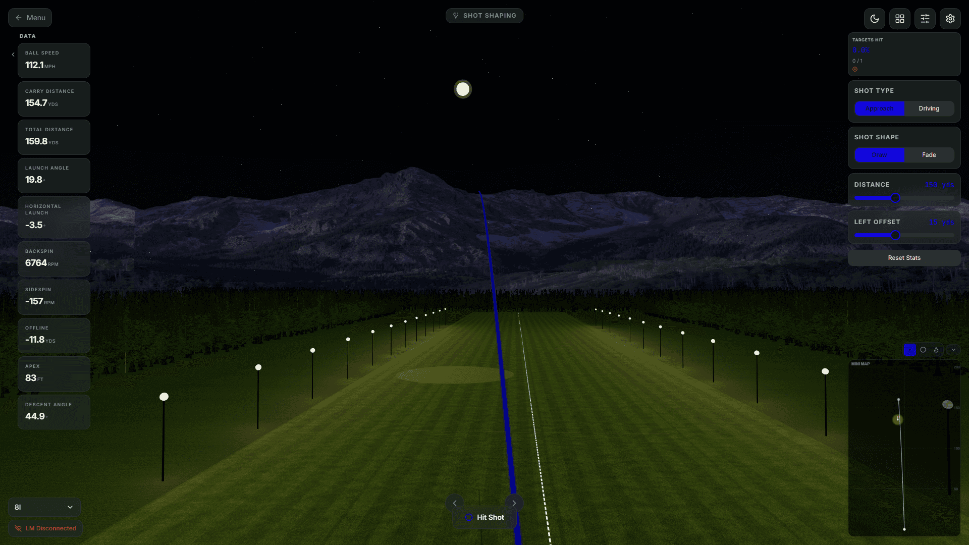
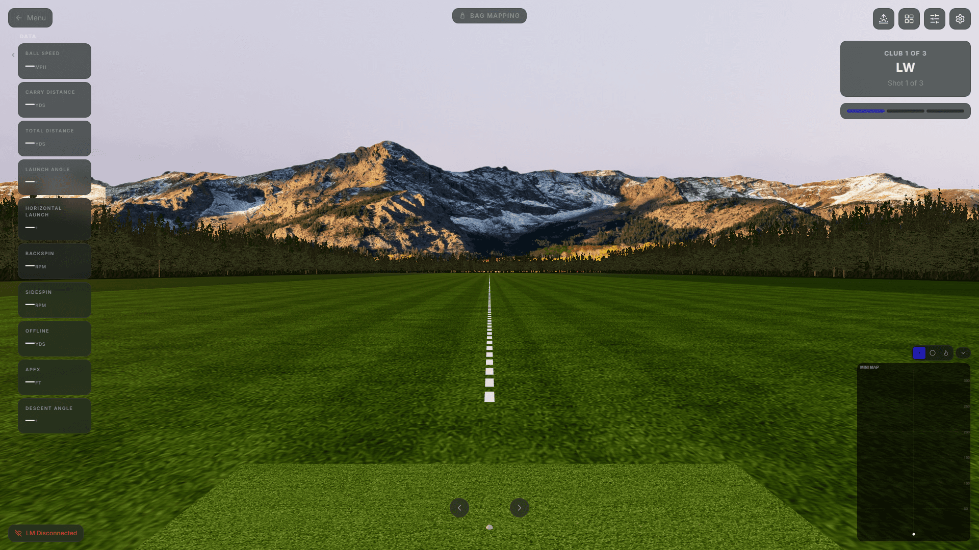
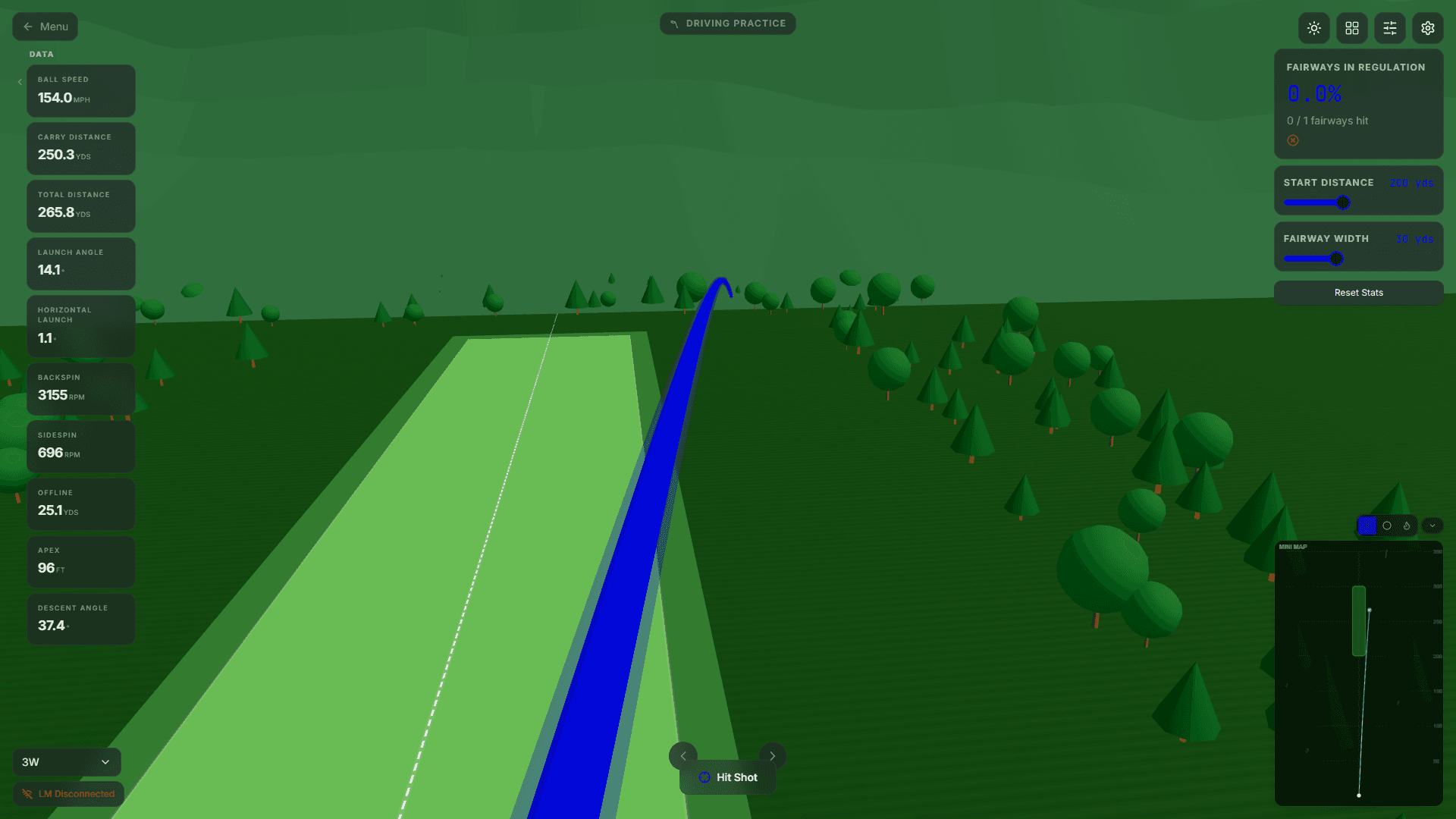
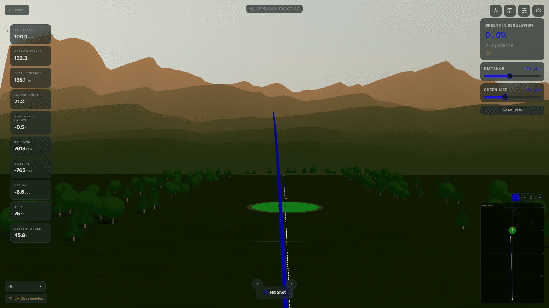
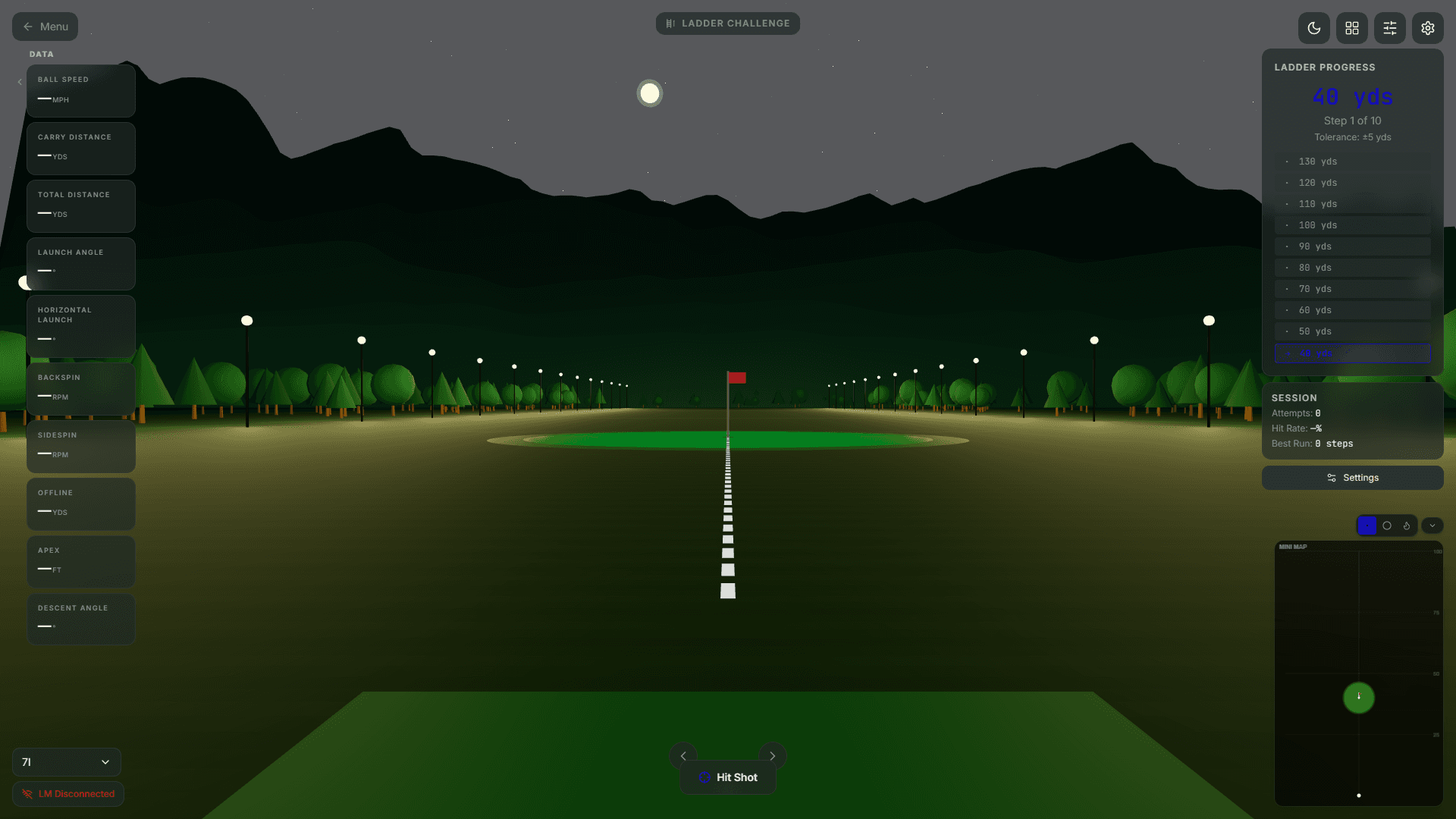
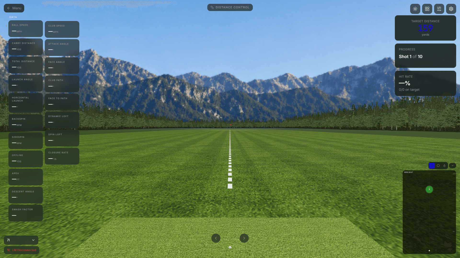
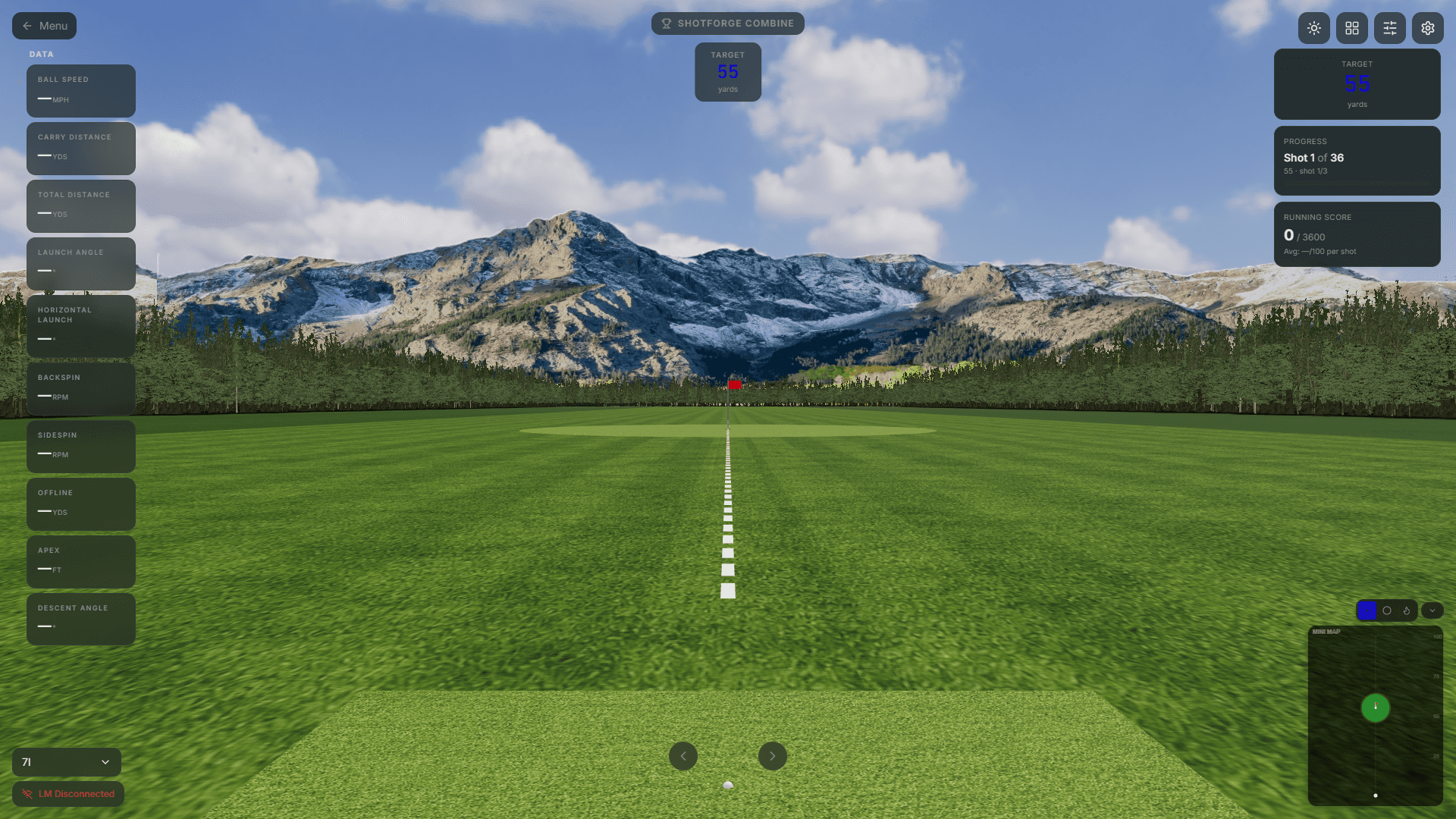
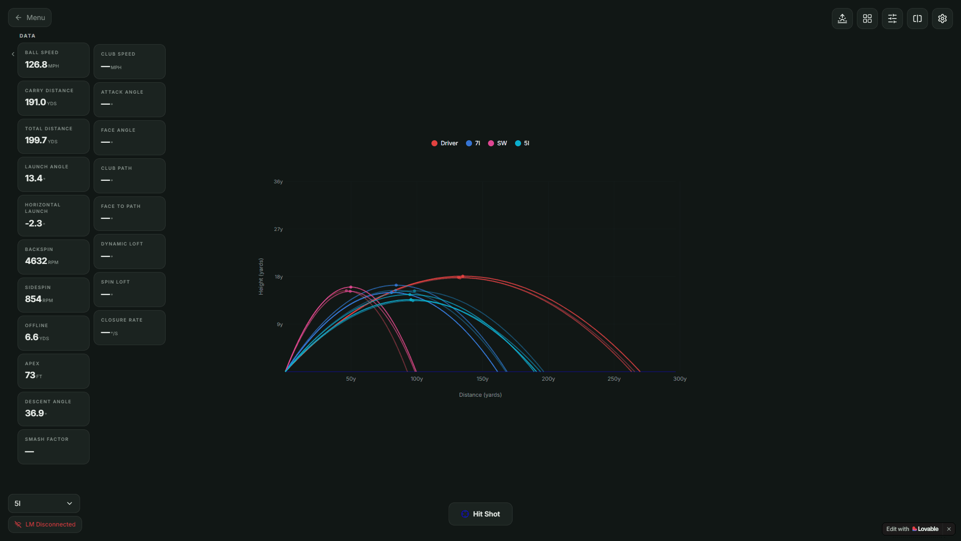


Built for golfers who actually want to improve